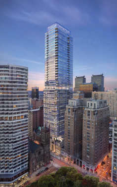
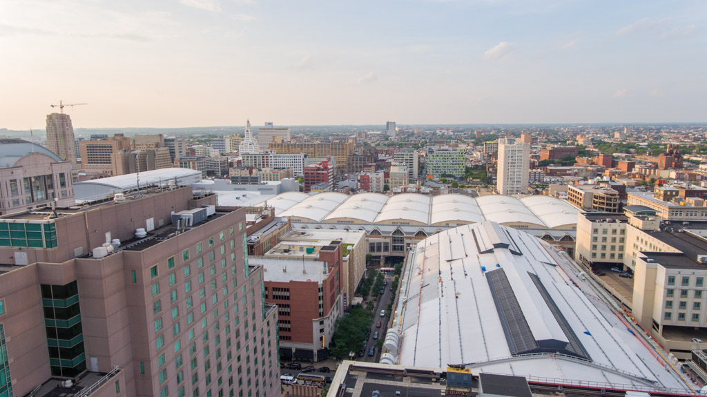
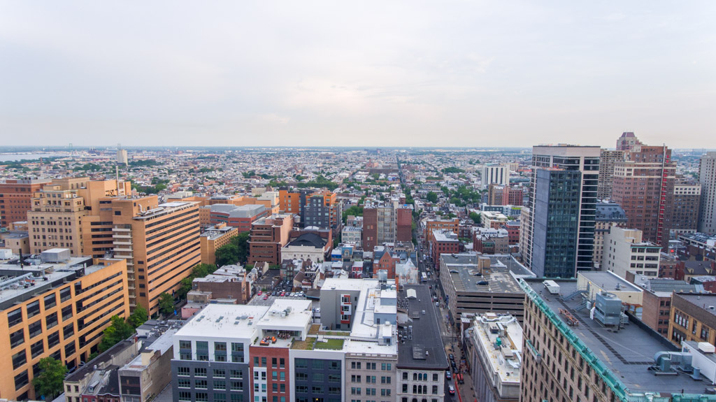
About


Droneshot specializes in aerial real estate photography and videography in the San Francisco and Los Angeles/Orange County areas. Droneshot began in the Greater Philadelphia market under the brand Philly By Drone. Below is a sample of clients we've worked with, including developers, general contractors, architects, property managers, commercial and residential brokers, and engineering firms. Our clients have benefited with accelerated pre-leasing, view-based pricing decisions, strengthened RFP's, boosted investor confidence, bolstered donation campaigns, and much more.

Pivot


Droneshot's most cutting edge technology: interactive 360 degree drone panoramas that highlight information about properties and nearby points of interest. Pivot has been successful for architecture firms, structural engineers, MEP consulting engineers, developers, general contractors, and any other companies in the real estate space looking to communicate their regional expertise. Pivot is entirely custom-coded, web-based, and virtual-reality enabled.


View this on your phone: www.droneshot.com/pivot/bala

Henry W Hudson, IV
Executive Vice President at BALA Consulting Engineers

"BALA has worked on 29 of the 45 new highrises in Philadelphia. A challenge we've faced is how to communicate our regional expertise in an innovative, visual way. We have had numerous, positive comments on the panorama. One person told me it was the best marketing piece he had ever seen."


*Click on the photos below to see the Pivot panoramas.

Salesforce Pivot - Droneshot

Salesforce - Pivot

100 Van Ness Pivot - Droneshot

100 Van Ness - Pivot

Civic Center - Droneshot

Civic Center - Pivot

Salesforce Dusk - Droneshot

Salesforce Dusk - Pivot

Investor and Lender Buy-In

Aerial view imagery helps allay concerns and can help justify the pricing assumptions that support a project’s financial projections. By conveying a project’s real world visual context to their equity and debt partners, developers increase their chances of securing capital for their projects and moving from vision to reality.

High-Impact Presentations

Aerial and panoramic images add striking, high-definition realism and create convincing, immediately accessible presentations that help the audience “see” the end product. Our aerial photos can be used as standalone photographs, incorporated into rendering backdrops, or as interactive 360 degree visuals.

Accelerated Pre-Leasing

Experienced development teams recognize that investing early on in this specialized aerial photography yields benefits that can be applied throughout the entire planning, design, development, financing, and marketing process. Tenants can now see their future home or office before the building's completion.

Aerial Photography


Our photos have been used in numerous national industry publications, sales pamphlets, RFP proposals, backdrops of architectural renderings, and international advertisement campaigns. Check out our photo albums at www.flickr.com/photos/droneshot. Photos are also available for purchase.


*Click on the photos below to see the full albums.

Salesforce Tower - Droneshot

Salesforce Tower

Salesforce Tower at Dusk - Droneshot

Salesforce Tower at Dusk

MIRA - Droneshot

MIRA

500 Folsom - Droneshot

500 Folsom

33 Tehama - Droneshot

33 Tehama

Jasper - Droneshot

Jasper

The Metropolitan - Droneshot

The Metropolitan

1066 Market - Droneshot

1066 Market

1067 Market - Droneshot

1067 Market

The Avery - Droneshot

The Avery

181 Fremont - Droneshot

181 Fremont

150 Van Ness - Droneshot

150 Van Ness

1500 Mission - Droneshot

1500 Mission

Millenium Tower - Droneshot

Millenium Tower

Case Study: Images as Backdrops for Renderings

Our drone photography was used as photorealistic backdrops for architectural renderings for The Laurel (1911 Walnut).

The Laurel with Drone Rendering
Backdrop for interior view
The Laurel with Drone Rendering
Backdrop for exterior view

Case Study: Pre-Construction Room Views for East Market 1199 Ludlow

Our drone photography has been used to precisely simulate room views from specific floors and angles for view-based pricing and accelerated pre-leasing.

Charles Norman
Development Manager at National Real Estate Development

"Droneshot allowed us to better visualize the views from the different apartments and floors in the building, helping us refine our thinking on which apartments will have the most sought after views to arrive at a better marketing and pricing strategy."


1199 Ludlow NW Corner
1199 Ludlow NW Corner @ 290ft
1199 Ludlow SW Corner
1199 Ludlow SW Corner @ 290ft

Aerial Cinema


Hollywood-Quality Cinematography

Droneshot uses a suite of professional/enterprise grade 10+ pound drones. Our videos are recorded at 30x the data rate of the average professional drone camera, which results in crystal sharp, high dynamic range images. Videos are also available for purchase.


Drone Reel

Licensing


Over the years, Droneshot has accumulated a stunning video collection of videos and photos. All of these are available for purchase for any of your purposes.

Flickr

YouTube

Contact Owner

Christopher Kao
chris@droneshot.com